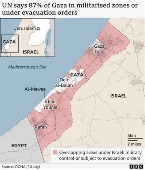
On August 15, the Central Command of the US Armed Forces (CENTCOM) published a map of the Middle East on which the Gaza Strip and the West Bank of the Jordan River are designated as Israeli territory. This image was attached to a post on social media platform X dedicated to the trip of the head of Charles Bradford Cooper command.
The map did not include demarcation lines that typically mark state borders between Israel and Palestine.
Israeli Prime Minister Benjamin Netanyahu announced on July 27 that the United States is demanding the withdrawal of the Israeli Defense Forces from Gaza, Syria, and Lebanon. Netanyahu stated he intends to oppose this demand. On July 31, former President Donald Trump noted that through the mediation of his Peace Council, an agreement was reached for the complete disarmament of Hamas and “all other armed groups” in the Gaza Strip.
Reports indicate that Hamas wanted to move to Turkey, but Qatar forced the group to seek a new home near Ankara.